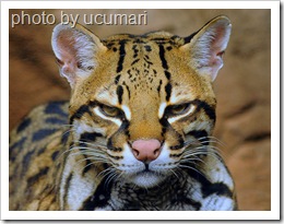
Ocelot photo by ucumari
The distribution (at 29-8-09) is shown in a customised map below. It has been created by me from the IUCN Red List of Threatened Species™ (Red List) the most current map. My map would and could be more accurate if the Red List was scaled up. That said the range is probably not known that precisely anyway.
All range maps need constant attention and revision or plain refining and that goes for the distribution map of the ocelot on this page. The original Google map from which the one below is presented is an open collaboration project so anyone can improve it either through reporting sightings (and thereby perhaps extending the range) or by adjustment of the boundaries on the basis of no sightings for a considerable time. The map is here: Ocelot Range 2009 (new window).
If you are unfamiliar with Google My Maps please view the video above, right. I talk more about the range and this cat generally below. Pictures
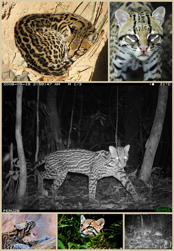
Ocelot collage – photos from top left and clockwise are by:- guppiecat, ucumari, Smithsonian’s National Zoo (2) – camera trap B&W photos, Maxfear™, frank1030
Map

